- Projects
- Markets
- Services
- About Us
- Careers
- Contact Us
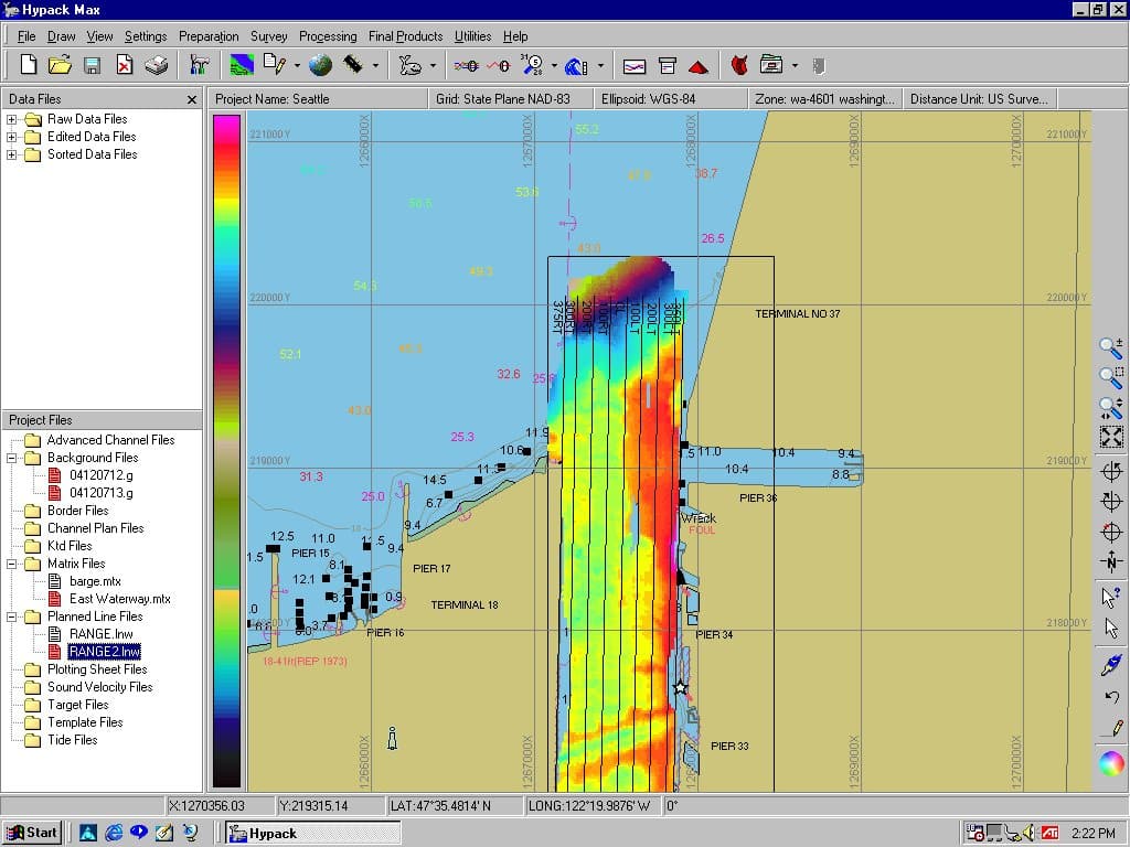
With the effects of wind, waves, and changing land and sea levels constantly altering our nation’s coastlines and navigable waters, precise positioning and data acquisition are vital to maintain and preserve these treasured natural resources. ESP utilizes the latest hydrographic surveying technology and software, including RTK GPS and robotic tracking to provide survey-grade horizontal and vertical positioning where feasible.
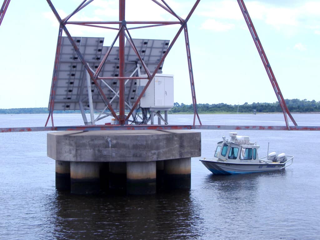
Additionally, our team brings a wide range of hydrographic surveying experience, ranging from full-bottom bathymetry, riverine cross sections, lake cove sediment surveys, various pond underwater DTM surveys, coastal port scour surveys, quantity surveys for pre- and post-dredging projects, and various hydrologic and hydraulic cross section surveys for floodplain mapping.
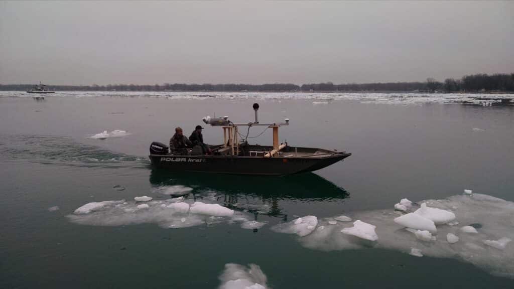
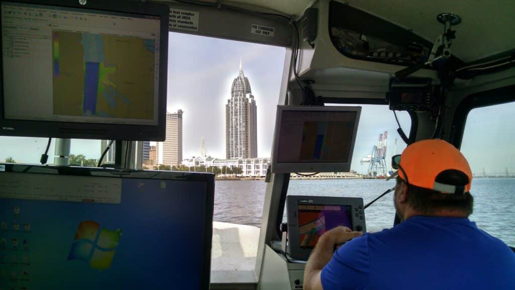
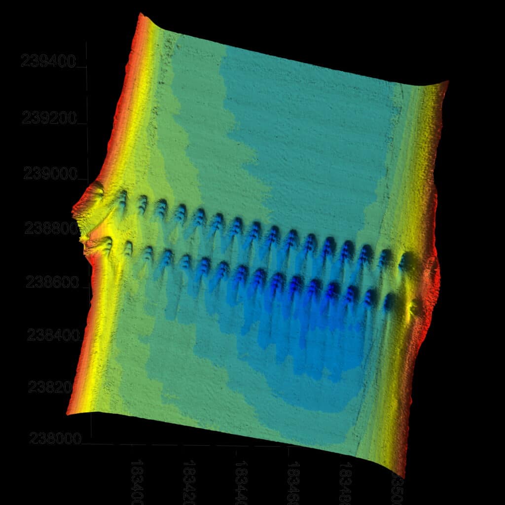
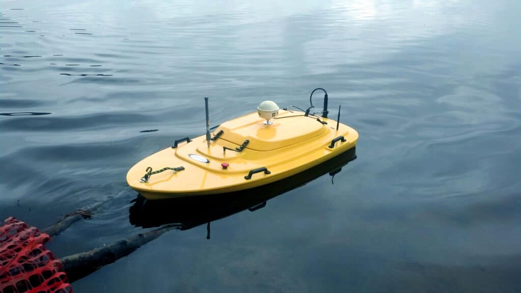
Compared to a manned boat, our remote-operated Oceanscience® Z-Boat echosounder launches by a single on-shore operator in a fraction of the time and avoids inherent hazards and safety risks of manned mobilizations. The Z-Boat and GPS are also integrated with a radio modem data transmission system, allowing the on-shore operator to view the boat track in real-time.
