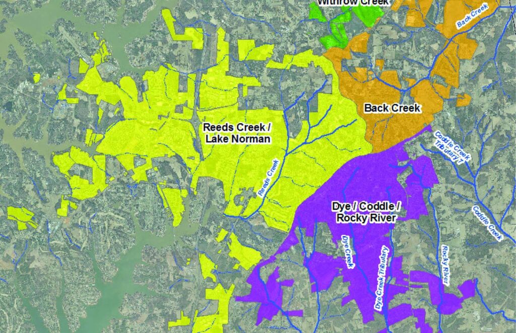
Successful stormwater management services involve the coordination and communication to analyze and assess drainage system features, identify improvements and cost/benefit analysis, coordinate with local officials, and engage with the community about their unique needs. Open communication with project stakeholders is essential.

To provide innovative and added-value services, ESP has a dedicated staff of water resources and civil/stormwater engineering professionals, including licensed Professional Engineers and Certified Floodplain Managers, supported by our local survey, GIS, and other professionals. We have extensive resources and experience in the key related practices needed to perform stormwater and drainage studies and prepare master plans.
We strive to be a partner in our clients’ success with one simple approach – Listen. Deliver. Improve.
Corporate Headquarters