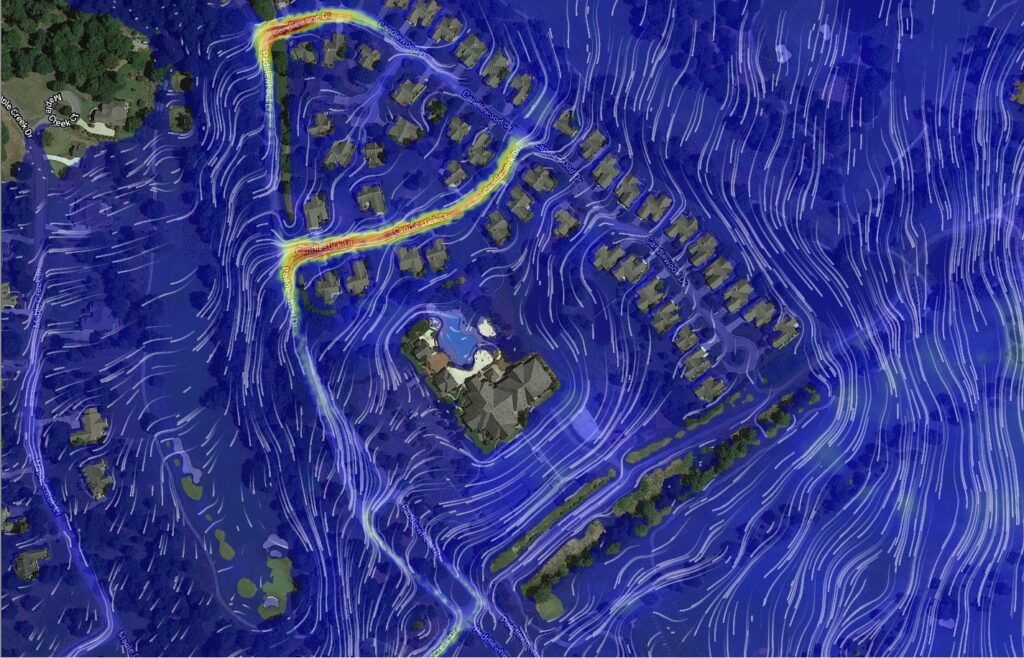
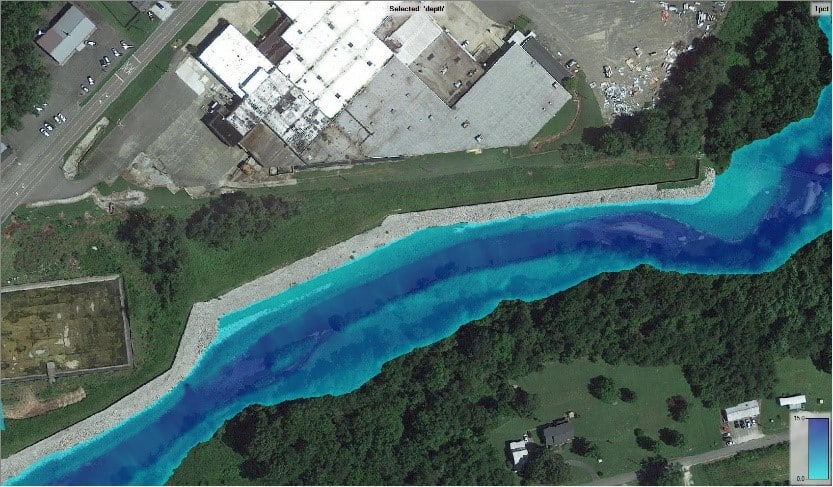
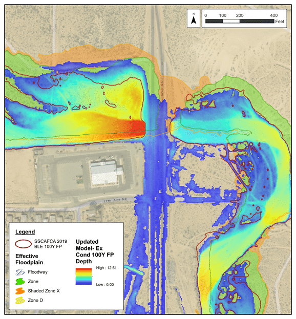
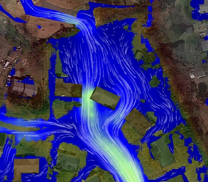
ESP is a leader in floodplain mapping with tremendous expertise and resources. Our staff of skilled and experienced water resource engineers, GIS specialists, application developers, and survey professionals provide innovative solutions to floodplain mapping needs. With a complete understanding of the mapping project approach, our team approaches every new project with the desire to continually improve efficiency, accuracy, and value for our clients.

We use state-of-the-art, GIS-based modeling and mapping tools, and we have a proven record of success with hydrologic and hydraulic analysis and natural hazard risk assessments for FEMA, states, municipalities, and private clients.


We strive to be a partner in our clients’ success with one simple approach – Listen. Deliver. Improve.
Corporate Headquarters