Home
  • Services
    • ALL
    • Civil Engineering
      • Site Civil Engineering
      • Water Resources Engineering
        • Planning and Design
        • Stormwater Management
        • Modeling and Mapping
        • Floodplain Mapping
        • GIS Services
        • Applications Development
      • Construction Engineering & Inspection
      • Special Inspections
      • Materials Testing
    • Earth Sciences
      • Geotechnical Engineering
      • Geophysics
      • Dam Consulting
      • Environmental Consulting
    • Planning & LA
      • Community Master Planning
      • Mixed-Use & Commercial
      • Park, Greenway, & Recreation
      • Multi-Family
      • Senior Living
      • Campus Planning & K-12
      • Branding & Signage Design
    • Surveying
      • Mobile Lidar Scanning
      • 3D Laser Scanning
      • Conventional & GPS Surveying
      • Subsurface Utility Engineering (SUE)
      • Route Surveying
      • Aerial Mapping
      • H&H Surveying
      • Hydrographic Surveying
      • Pavement and Asset Inventory Services
      • UAS Services
  • Markets
    • ALL
    • Community Development
      • Residential
      • Commercial
      • Mixed-Use
      • Business & Industrial
      • Educational
      • Healthcare
      • Parks & Recreation
      • Public Facilities
      • Sports & Entertainment
    • Energy
      • Electric Energy
      • Petroleum and Natural Gas
      • Power Generation
    • Environmental
      • Dams
      • Emergency Management
      • Municipal Water/Wastewater
      • Risk Assessment & Mitigation
      • Watershed Protection
    • Government
      • Federal
      • State
      • Local
    • Transportation
      • Airports
      • Highways & Bridges
      • Ports
      • Rail & Transit
      • Streets and Roads
  • Projects
  • About
    • Our Firm
    • Safety
    • News
  • Careers
  • Contact Us

NCDOT I-95 Widening | Cumberland, Harnett, & Johnston Counties

  1. Home
  2. Project Spotlights
  3. NCDOT I-95 Widening | Cumberland, Harnett, & Johnston Counties

NCDOT STIP & Federal INFRA Project

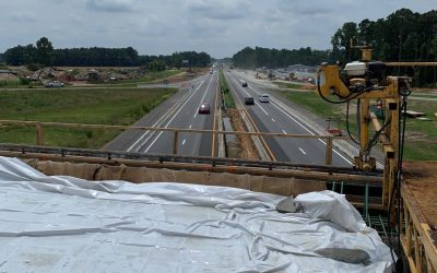
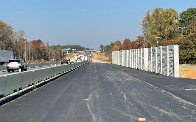
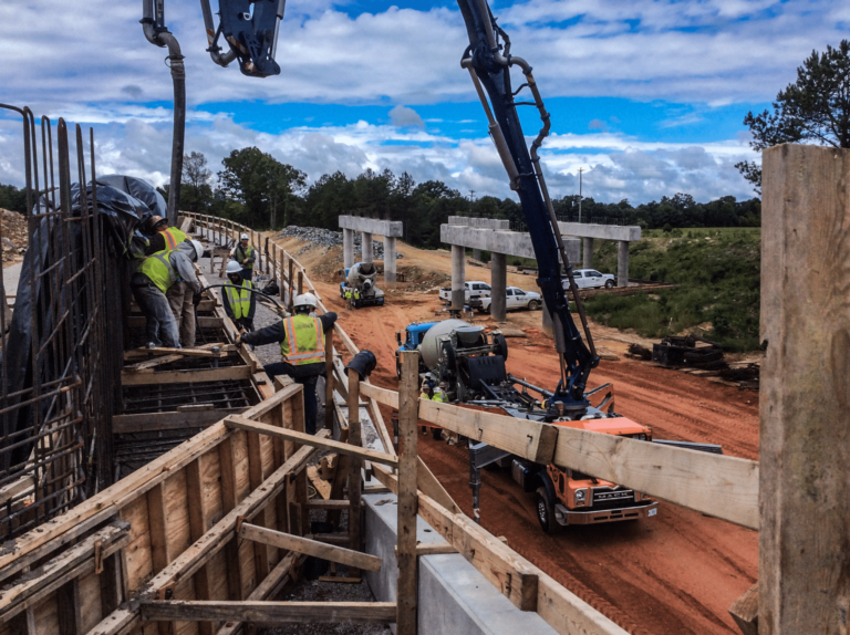
Funded by NCDOT’s State Transportation Improvement Program (STIP) and the Infrastructure for Rebuilding America (INFRA) federal program, this widening project will convert 25 miles of NC’s oldest stretch of I-95 from four to eight lanes.

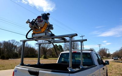
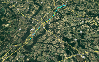
From Exit 71-81, ESP employed our Trimble MX9 mobile lidar and imaging system to achieve mobile lidar pavement DTMs for approximately ten miles of various Y-lines as well as ramps at the I-40 interchange.

From Exit 55-71, ESP located approximately 705 wetland flags within approximately 36,750 linear feet and performed eight miles of conventional survey, including planimetrics, obscured DTMs, and property owner contacts.

All deliverables were provided in Microstation V8i.

Back to Spotlight Gallery

  • NCDOT I-95 Widening

    NCDOT I-95 Widening

  • NCDOT I-95 Widening

    NCDOT I-95 Widening

  • NCDOT I-95 Widening

    NCDOT I-95 Widening

Related Services

Surveying


Related Markets

Transportation

Copyright © 2023 by ESP Associates, Inc.   All rights reserved. All content subject to change without notice.

Footer Links

  • Employee Login