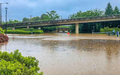
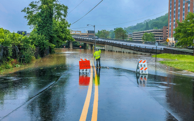
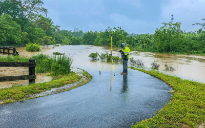
For a 10-mile reach of the Roanoke River that runs through the City of Roanoke, ESP’s water resources engineering group completed a large-scale modeling, mapping, and FEMA Physical Map Revision and leveraged this modeling and stream gauge / forecast information to develop a state-of-the-art, real-time flood inundation mapping and warning system.
This system extracts data from USGS and National Weather Service every 15 minutes, storing river stage, flow, and forecast values in an enterprise database that drives the application. Users interact with the site via interactive widgets that show current and forecasted stage and flow values, including a module for emergency managers to view forecasted inundation, impacted buildings, and critical facilities via time-slider tools – floodwatch.roanokeva.gov.
Project scope included system requirements analysis, database design, code development, deployment, and training.