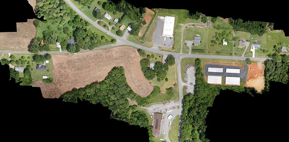
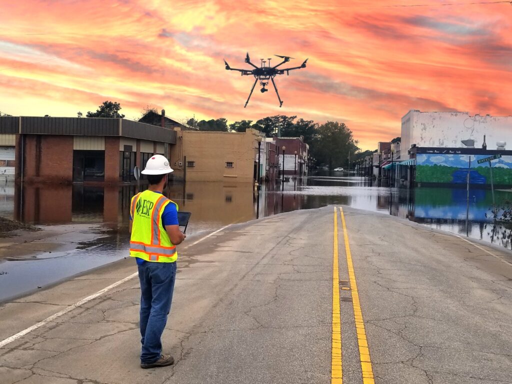
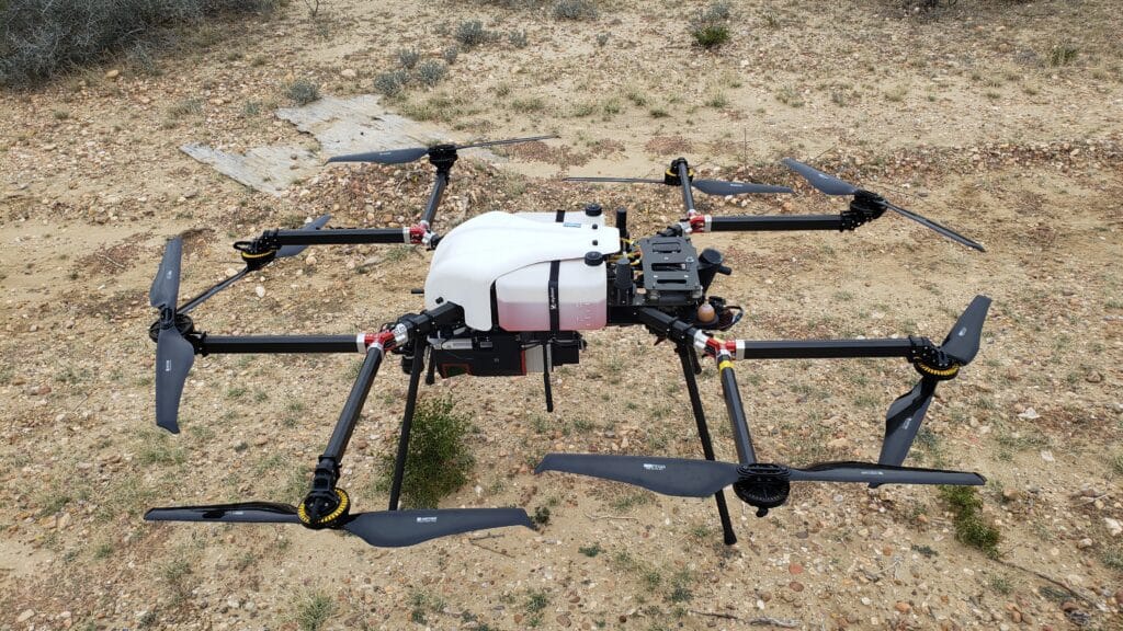
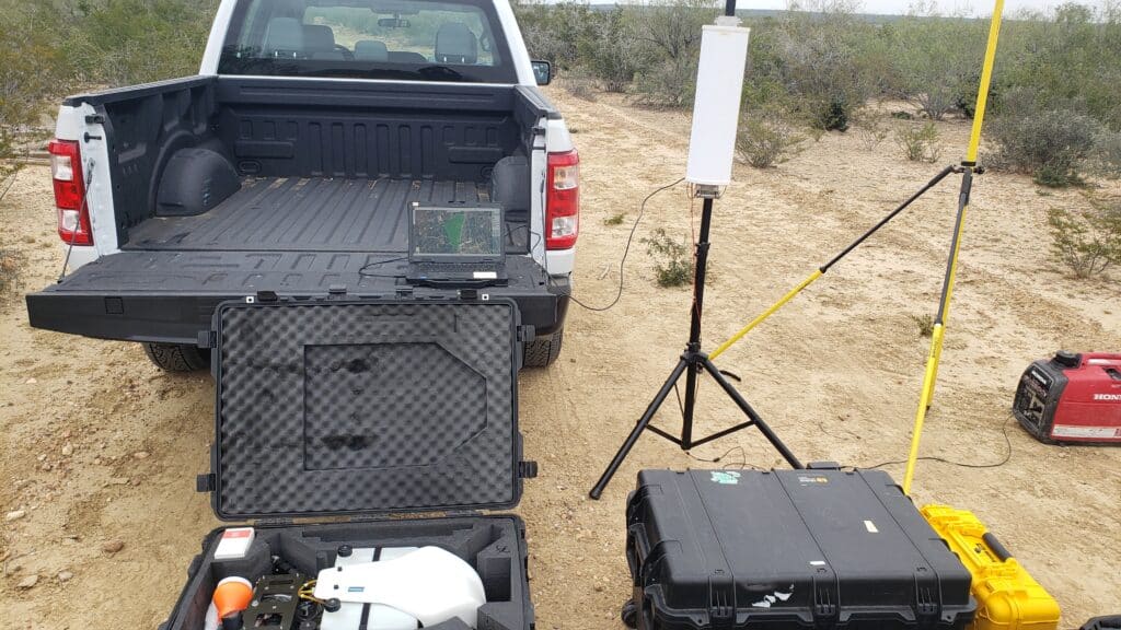
ESP’s service capabilities in unmanned aircraft systems (UAS) fill existing gaps between large-area projects that are typically mapped using satellite and/or manned aircraft-collected imagery and small-area projects typically mapped using time-consuming conventional survey methods.

Our FAA Part 107 pilots are licensed, insured, and certified to operate UAS equipment, and our ASPRS photogrammetrist uses a complete photogrammetric workflow to deliver products derived from UAS data. Using streamlined quality control measures, aerial imagery post-processing techniques, and lidar classification methods, UAS services provide efficient and cost-effective solutions for mid-size to small projects.


We strive to be a partner in our clients’ success with one simple approach – Listen. Deliver. Improve.
Corporate Headquarters