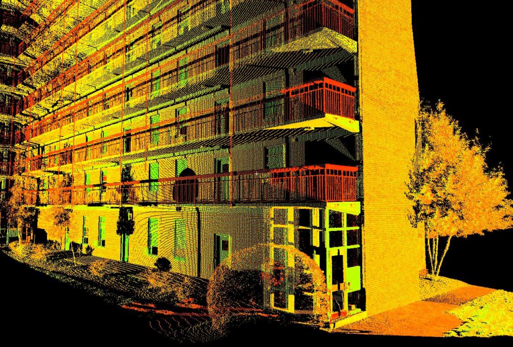
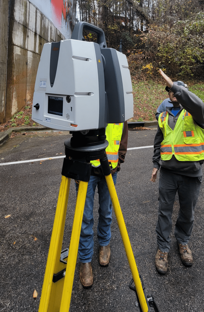
Also referred to as ground-based or terrestrial lidar, 3D laser scanning is a cutting-edge technology that allows us to collect spatial data from a site, structure, or object rapidly and remotely.

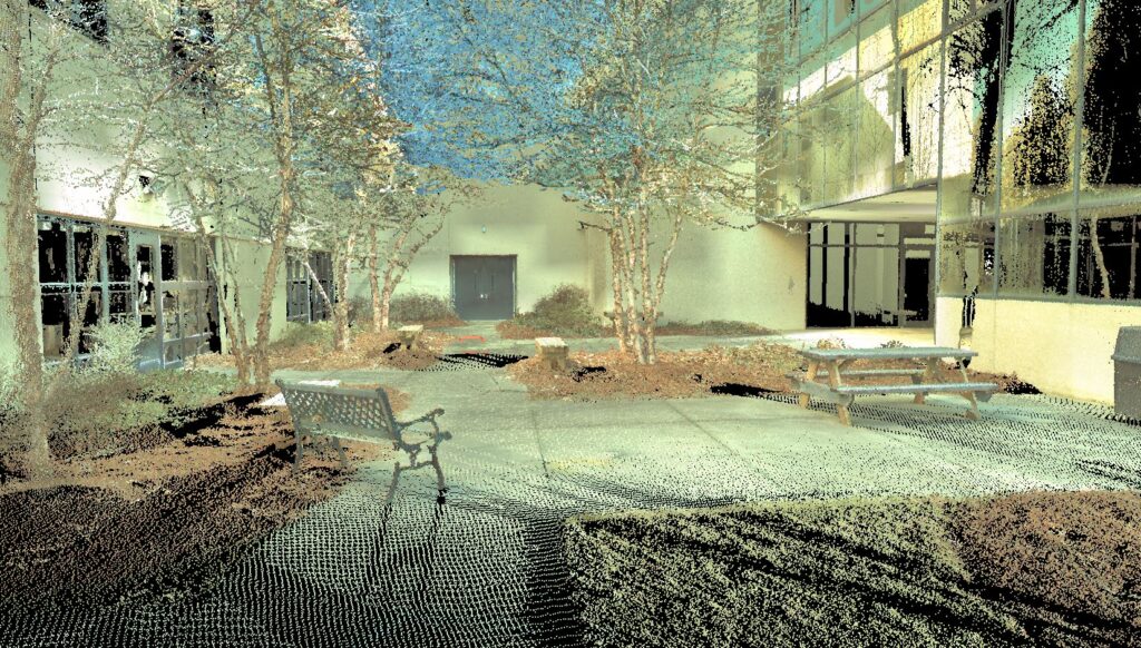
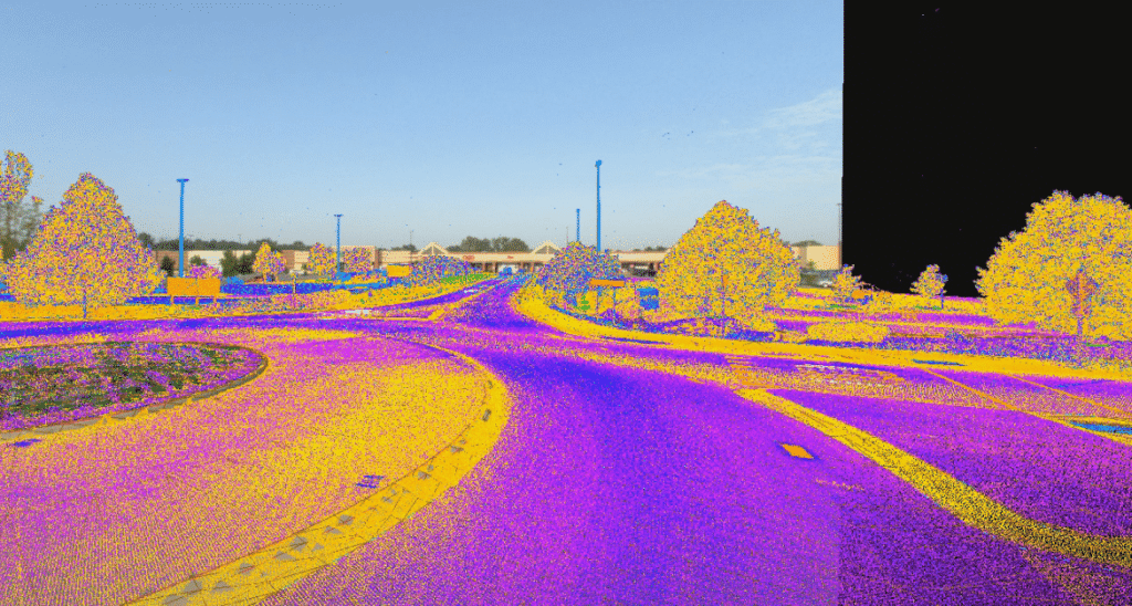
The information from a 3D laser scan provides extremely accurate data in the form of a dense point cloud that can easily be modeled, geo-referenced, and surveyed virtually. These point clouds can then be used to create everything from 2D floorplans to 3D BIM models, and much more.


We strive to be a partner in our clients’ success with one simple approach – Listen. Deliver. Improve.
Corporate Headquarters